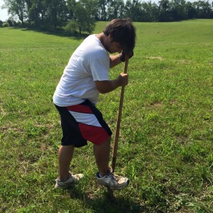
Aside from the excavating, drawing, and washing of artifacts, the grid is a very important part of archaeology. The formation of the grid helps the archaeologist plot the nails for the individual units and aligns the shovel tests. The grid is set up using a transit and a stadia rod. The transit is a device used to determine distances and elevations. The stadia rod sits opposite the transit in order to measure the elevations seen through the scope. The transit is set up over a central datum that can be numbered as  high as 1000 in order to keep the grid from going into negative numbers. The stadia rod is used as a reference point for the transit to set up northing and easting measurements. Keeping the datum the same for all units is important so that the range of error is minimized.
The grid is both arbitrary and systematic. The grid is arbitrary because it does not already exist in the ground and is dependent on the position of the central datum point. That being said, the grid is set up in one meter by one meter units which makes it systematic. Once the grid has been set up the transit can be moved down the northing or easting line to get the datum points for the desired units. The transit and stadia rod are also used to measure elevation of features inside units or blocks. When getting the elevation of unit features or shovel tests, the transit give three measurements in centimeters or a top, middle, and bottom point to make the elevations more accurate.